Living in Raleigh NC: Daily Life, Commutes & Fun
February 5, 2026
February 5, 2026
Wondering what everyday life in Raleigh really looks like? If you are weighing a move, you probably care about commute times, neighborhood feel, and how your weekends might unfold. You want a clear, practical view so you can match your lifestyle with the right part of the city. This guide breaks down how Raleigh is laid out, what inside vs. outside the Beltline means, how people get around, and what locals do for fun. Let’s dive in.
Raleigh is a fast‑growing capital city in North Carolina’s Research Triangle, shaped by a compact core and a ring of suburban corridors. The metro includes nearby towns like Cary, Wake Forest, and Garner that function as part of daily life for many residents. Job centers in the Research Triangle Park influence where people live and how they commute.
Locals use the I‑440 loop, known as the Beltline, as a handy way to compare lifestyle tradeoffs. Inside the Beltline generally means closer to downtown and walkable corridors. Outside the Beltline often means newer subdivisions and more space. Both offer strong options depending on what you value most.
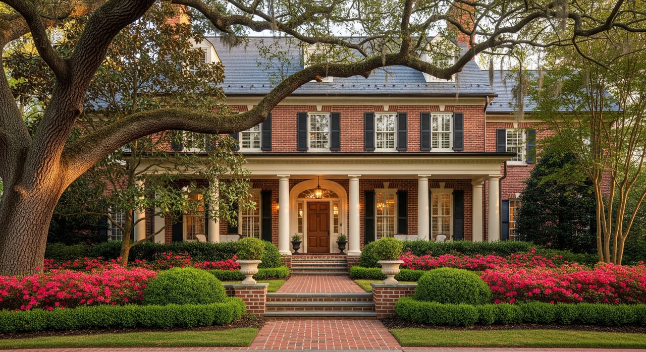
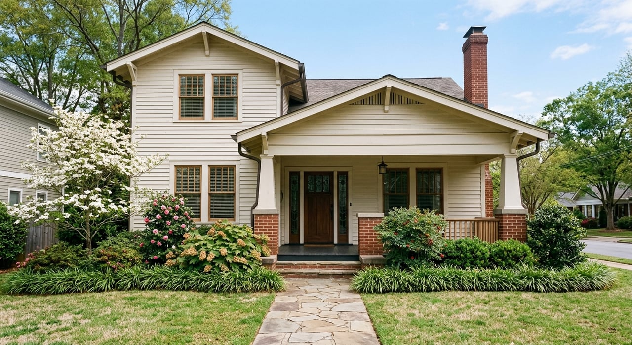
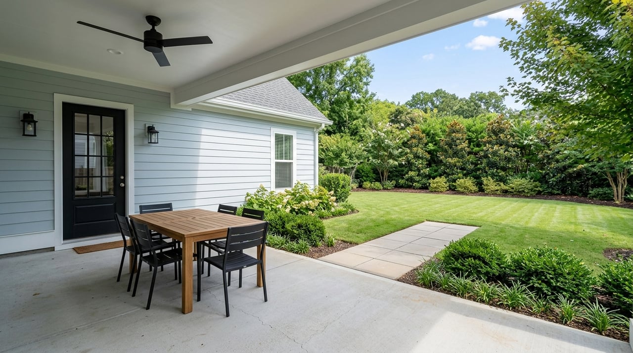
If you want short drives to downtown employment and entertainment, inside the Beltline can be a fit. You will find a mix of older homes, duplexes, condos, and tree‑lined streets. Many inner neighborhoods place you near coffee shops, small parks, and cultural venues within a quick ride.
Commonly cited examples include Downtown and Glenwood South for an urban feel and nightlife, Five Points for historic bungalows and village‑style nodes, and Boylan Heights, Mordecai, and Cameron Park for mature trees and a residential feel close to the core. Exact boundaries vary by source, so always verify neighborhood maps as you explore.
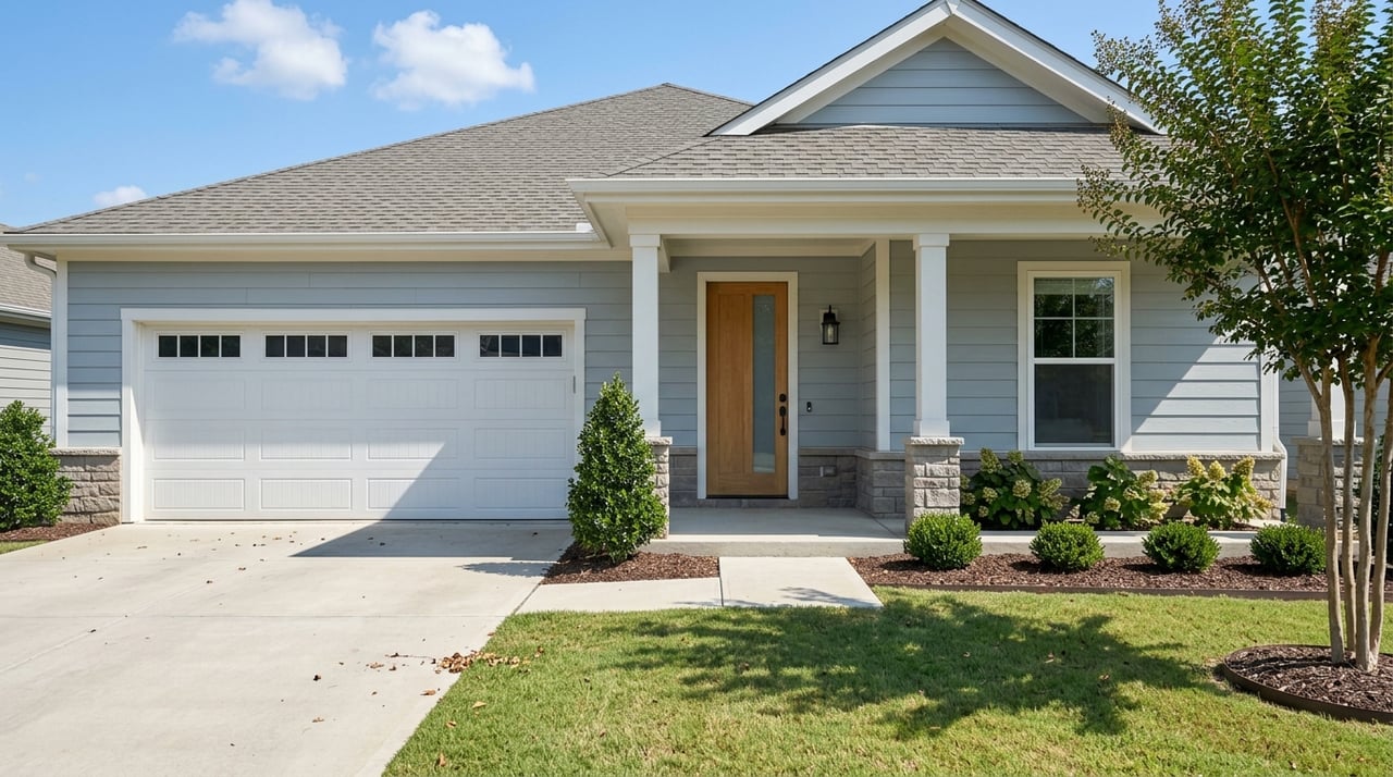
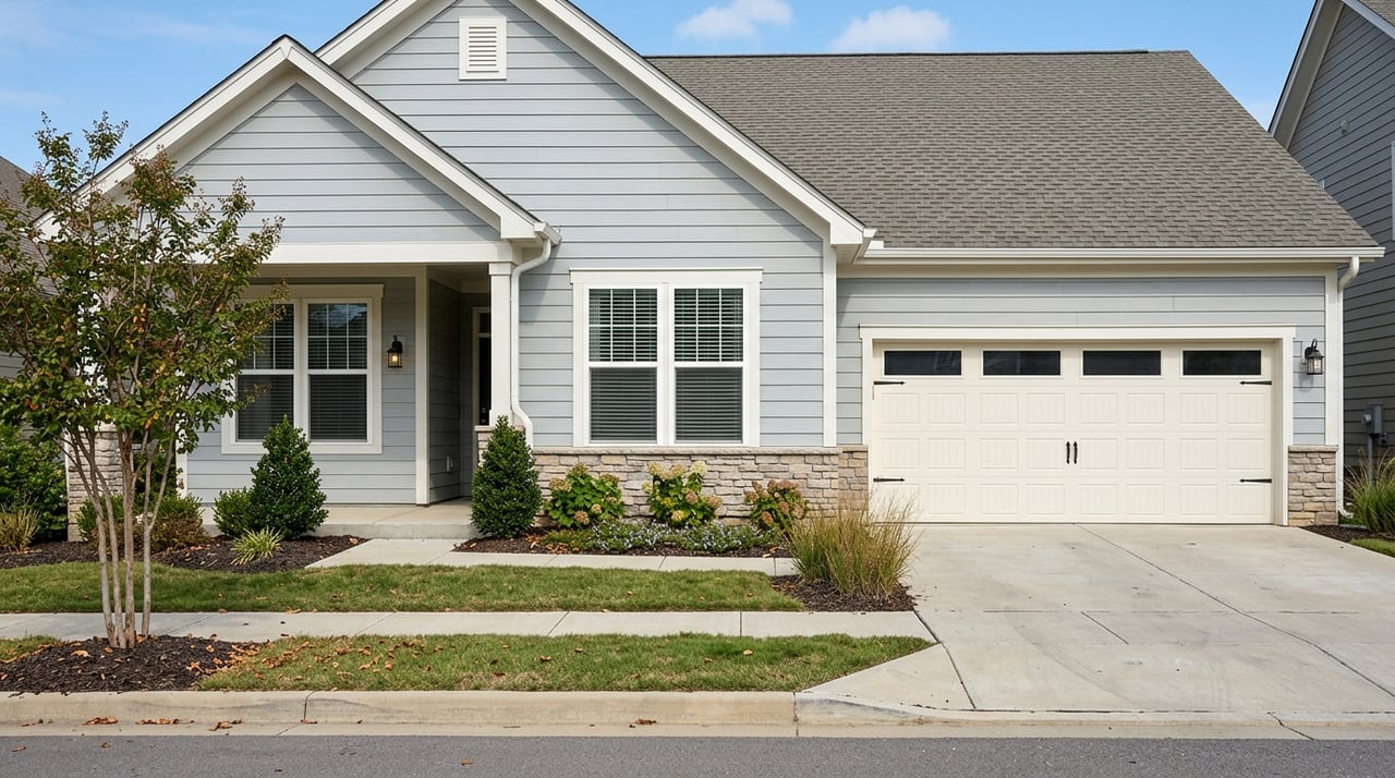
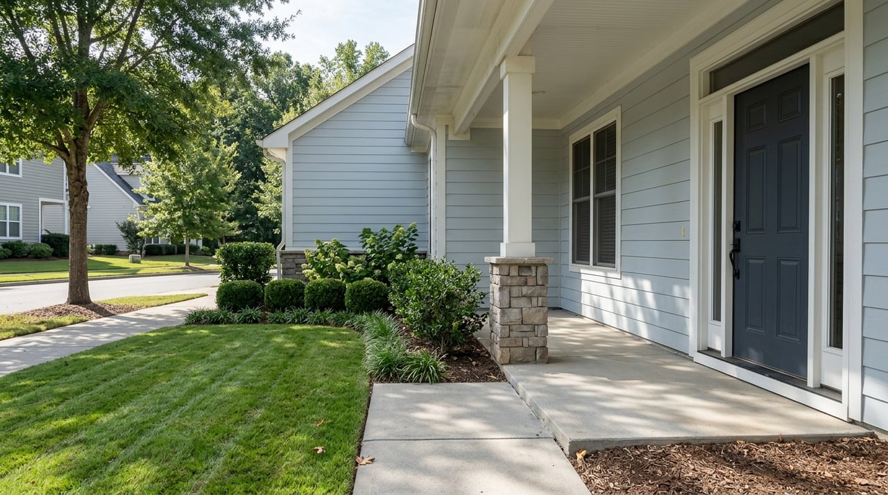
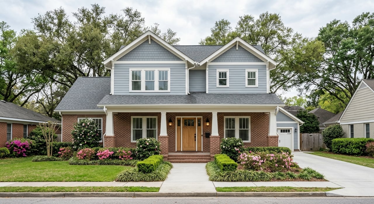
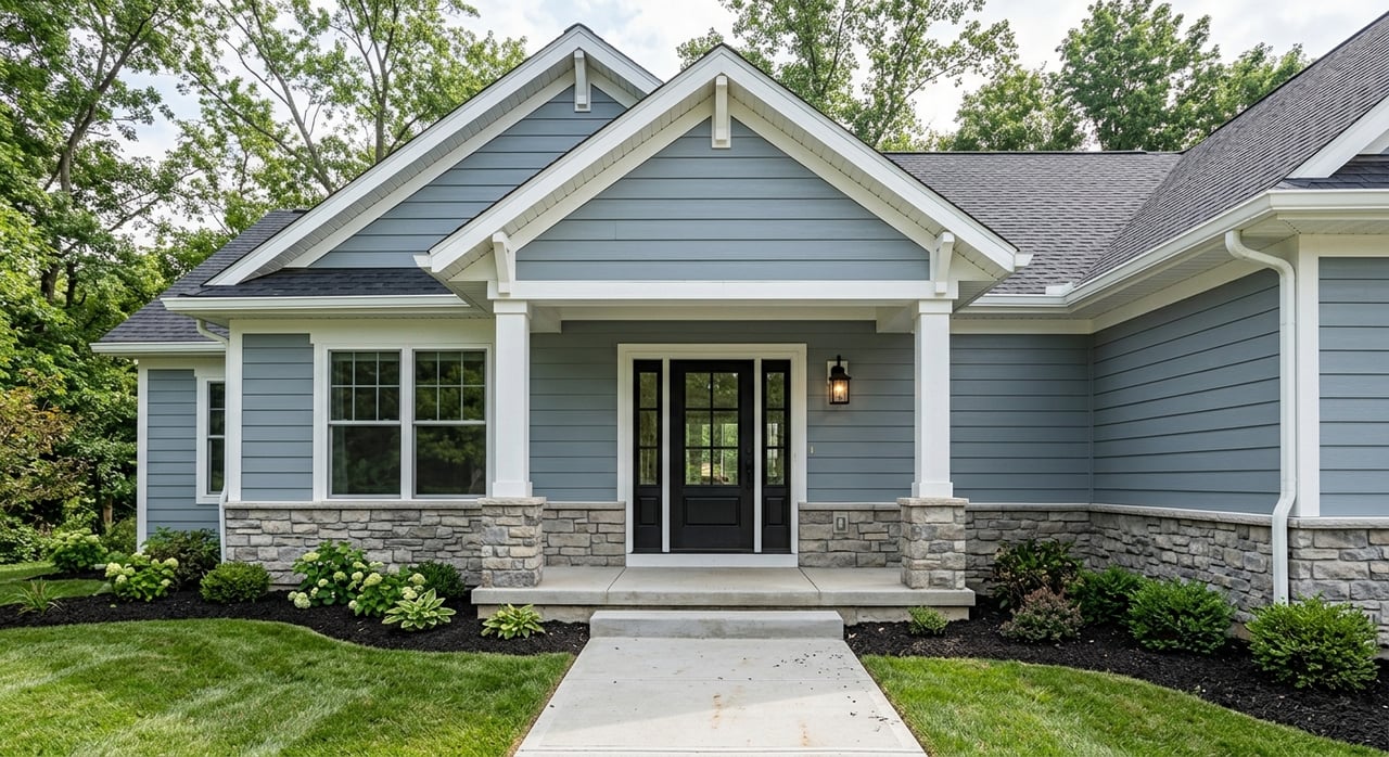
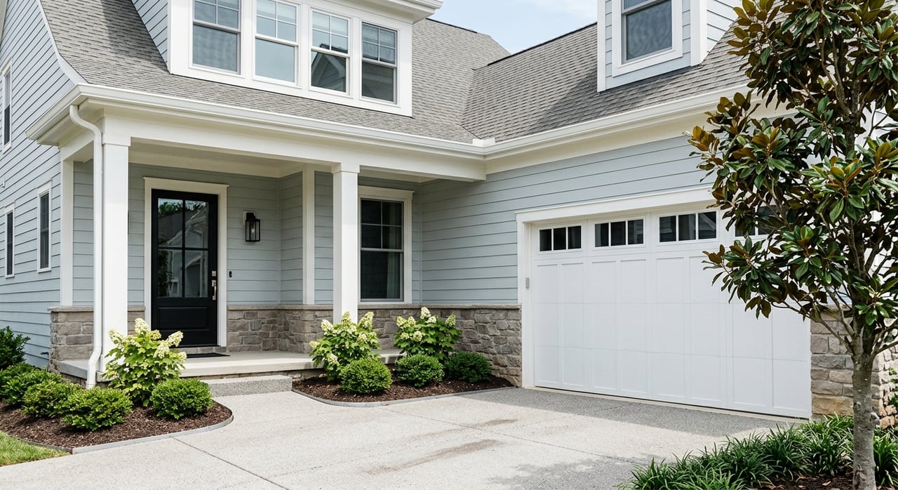
Outside the Beltline, you will see more recent development, larger yards, and cul‑de‑sac layouts. Many neighborhoods emphasize space and community amenities like pools and playgrounds. Shopping is often clustered in suburban retail centers, with some mixed‑use hubs that offer a walkable feel.
Examples include North Raleigh’s single‑family subdivisions with nearby shopping centers, Brier Creek for newer development near RDU and I‑40, and East/South Raleigh areas that offer more budget‑friendly options with growing amenities.
Raleigh is primarily car‑dependent, and most residents drive to work. That said, you do have options beyond the wheel depending on your location and schedule.
For many residents near central corridors, commutes to downtown or RTP can be under 30 minutes. Commute times grow as you move farther out in Wake County. Peak congestion is most common on I‑40, I‑440, US‑70, US‑64, and major arterials during weekday mornings and evenings. Construction projects and seasonal events can add delays.
Long‑range transit planning continues to improve bus frequency and coverage over time. Road improvements and intersection upgrades are ongoing as the area grows.
Raleigh weekends blend food, culture, green space, and easy day trips. Whether you stay close to home or head out for an adventure, it is easy to build a routine you love.
Downtown, Glenwood South, and North Hills are primary nodes for restaurants, bars, and late‑night options. You will find a strong craft‑beer scene and a growing café culture across both central and suburban neighborhoods. Museums and performing arts venues add year‑round programming that is easy to fit into an evening plan.
Green space is a standout feature. The Capital Area greenway system connects neighborhoods to trails for walking, running, and biking. Dorothea Dix Park, near downtown, offers a large urban park experience for picnics and events. William B. Umstead State Park sits minutes from the city and is popular for hiking and mountain biking.
For errands and shopping, you have both major centers and independent options. Crabtree Valley and North Hills cover a range of retail needs, while neighborhood centers carry everyday essentials. Farmers markets, including the State Farmers Market, are weekend staples for fresh produce and seasonal finds.
Raleigh’s location makes day trips simple. Beaches to the east and the Blue Ridge foothills to the west are reachable within a few hours by car. If you travel often, RDU provides quick air access and Raleigh Union Station connects you by rail to regional destinations.
The Wake County Public School System serves Raleigh and surrounding areas. School quality is zone‑specific, so it is smart to evaluate individual attendance zones and school‑level trends rather than relying on broad neighborhood assumptions. Many families also compare Raleigh zones with nearby municipalities such as Cary.
For a full picture, review current attendance maps, look at North Carolina Department of Public Instruction data, and track trends over time. If schools are a top priority, pair your research with on‑the‑ground neighborhood tours so you can weigh commute, cost, and daily routine alongside education.
Crime rates vary by neighborhood block. As you compare areas, consult Raleigh Police Department crime maps and local neighborhood associations for up‑to‑date data. Combine that with visits at different times of day to develop a clear sense of the streetscape and activity level.
Use these prompts to speed up your short list of neighborhoods:
As you tour, keep your notebook handy and try this simple framework:
Choosing a neighborhood is easier with a local guide who knows the street‑by‑street nuances. Our team pairs neighborhood expertise with modern tools so you can compare real options and make a confident move. We help you:
Whether you are moving up, relocating, or exploring an investment, you can expect clear guidance and a smooth process from search to closing.
If you are ready to talk through inside‑vs‑outside the Beltline, commute strategies, and weekend fit, connect with our team. We will tailor a plan to your timing and budget and share neighborhood‑level insights to help you move forward with confidence. Reach out to DuBois Property Group to schedule a consultation.
June 11, 2026
June 4, 2026
May 28, 2026
May 21, 2026
May 14, 2026
May 7, 2026
April 23, 2026
April 16, 2026
April 2, 2026
Whether buying, selling, or relocating to the Triangle area, DuBois Property Group is dedicated to providing personalized real estate services for buyers and sellers.